Immaculate May DC Weather for Currently
Immaculate May DC Weather for Currently
Climate & Weather Forecast Poetry for Washington, DC

Currently is a weather service for the era of climate change
Currently is a free subscription weather service — delivering daily weather poetry to your inbox, and connecting you with interactive weather alerts and real-time climate context straight to your phone. We’re a community of people sharing resources and delivering justice, hope, safety, and resilience in a world in urgent need of systemic action.
Monday, May 2nd, 2022
This week’s Spring mix is guided by warm fronts and hearts.
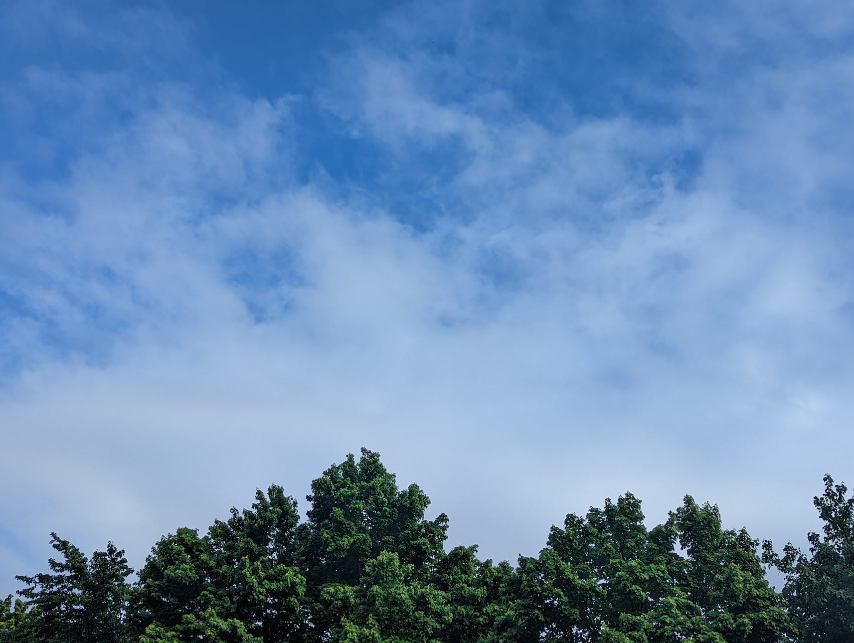
Monday starts cloudy early, clearing periodically throughout.
Like Sky’s one big interconnected flower, petals solar-powered,
shifting clouds unfolding openings until sunshine’s horizon-strewn.
Seasonable temps bask in a beautiful and pollenful afternoon.
I’m thinking of wearing a light sleeve I can roll-up to toggle through
calm morning 60s°F to mid-70s°F highs, overall gorgeous commutes.
Here are your latest glints of solar in DC reflecting a brighter tomorrow:
- Metro’s first planned solar canopy installed at Anacostia Station
- Gallaudet University is getting a microgrid + community solar project
Tuesday, May 3rd, 2022
⛅
Tuesday’s gorgeous warmth stretches through a partly sunny morning chirping towards a cloudier evening. Throughout, a nice breeze chatters-on, like a policy wonk seeking sponsors.
🚴
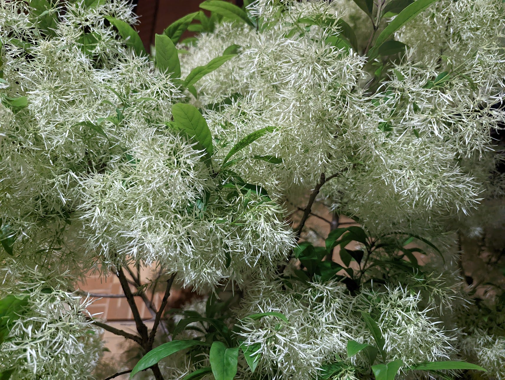
Floral scents will fill the air, giving Possibility and Rebirth — or giving Allergies and Climate-Reminders, depending. My itching eyes have seen the glory of the coming layers of azaleas, daffodils, irises, lilacs, toadshade, every kind of tree leaf, and more.
🌷
As for any rain, watch for it evening into nighttime. Likely later, which may sway into thunderstorms, previewing what Wednesday has in store.
🌧️
🌫️🌧️
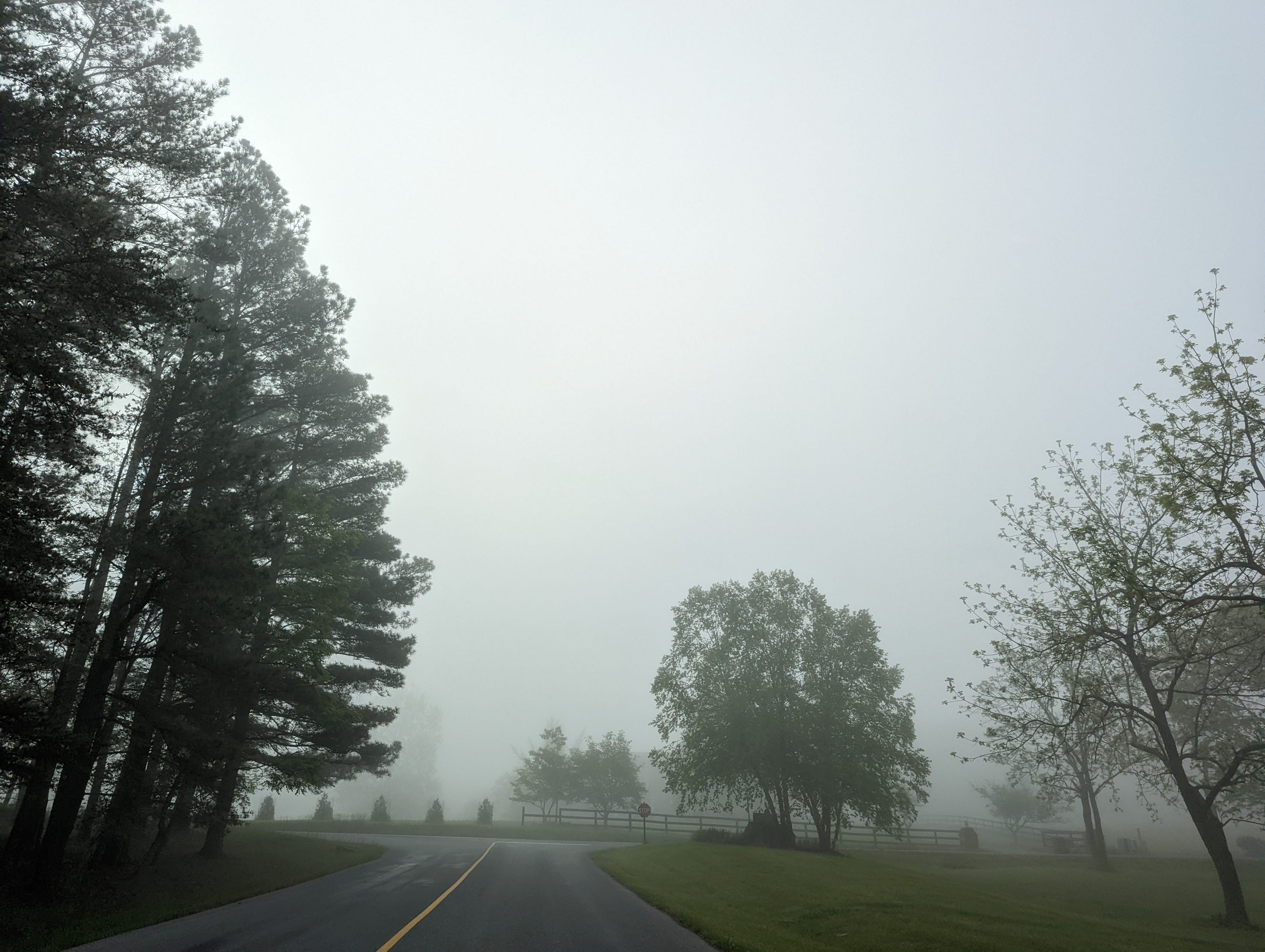
Wednesday feels the swamp heat creep and sweats through it. Arms raised, they spin an angry dance of warmth and humidity swirling. Mixed skies bob through another morning fog, so thick it pastes tears onto your face. Another force joins at this intersection— tense energy from a storm system scooting from the central plains. All mix to give possible scattered showers between cloud-busting breakthroughs of some sun, showers which could dip-in again by afternoon. Have rain gear accessible, and in 80s°F highs, ideally something light. Hydrate regularly, breathe deep, and stay mobilizing. Follow @ShutDown_DC for fast action organizing alerts.
☂️📣
Thursday, May 5th, 2022
⛅
Calm skies and Spring temperatures grace us Thursday. With temperatures down ten degrees to a pleasant low-70s high. Great day to hop on your bike and explore. Ride over MBT, with the new stretch from Fort Totten to Brookland, and enjoy the way. But overnight, it may shower—which drags into Friday.
🚴
Here are some DMV-area climate finds for you:
Low pressure system moves eastward from the Great Lakes into the Mid-Atlantic Friday.
🌧️
Friday— showery and cloudy. Ready for rain off-and-on. Downpours and stronger winds by night. Throughout, highs dip cooler than they’ve been all week.
☂️
Saturday— continuing rain showers likely. Steadier winds and gusts may bend umbrellas. Temperatures drop even further.
🧥
Sunday— cooler still, highs in the low-50s°F. But at least rain should drip to more drizzle by late day in cloudy calm.
☁️
In a city between two rivers, climate-supercharged intense rainfall creates more flooding risks. So thank you for all you do— for climate justice.
Monday, May 9th, 2022
Monday dry-erases weekend, with mostly sunny skies sketched in mid-60s°F highs you’ll draw-over still, a 10-15 degree below-average cool kept-chill until midweek warms into the fold, nurturing weekend-wet nourishing growing green between roads. Jacketed on your AM commute, you notice fractal bursts of chirping overhead asserting inhabitance as inheritance, by breezy winds sometimes gusting as if guffawing into a calming afternoon (with plenty of pollening), solar until 8PM sunset: when dusk motes wink.
From weekend finds— good climate shares across the DMV:
Tuesday, May 10th, 2022
☀️🚴♀️🌸🐦🌷🚌
Sun unfurls Tuesday in pretty clear skies. Everything’s enchanted in its generous warm spread, highs blooming to 70°F. And that’s when you notice everyone seems to have a cap on their head: trees capped with leaves, stems with bulbs, canopies with birds, skies with sun. Cap or cap-less, it’s a great day to get out, whether just for a breather, if not for more fun. Overnight 50s°F lows even feel refreshing in crisp air.
But speaking of sun— hasn’t set yet on your chance to join Solar United Neighbors Capital Area 2022 Solar & EV Co-op. For more solar opportunities, DOEE has a webinar Friday.
Wednesday, May 11th, 2022
🌞
Wednesday's a bright and breezy
immensely pretty day to journey
starting early, will make you song
to ode DC Parks: #1 in the Trust
for Public Land index, our patch-
work quilt of pocket parks and
monument parks and neighborhood
parks and district parks under the
rose-golden Spring sun shining —
smiling on joggers and strollers and
squirrel hollows and sassy florals; to
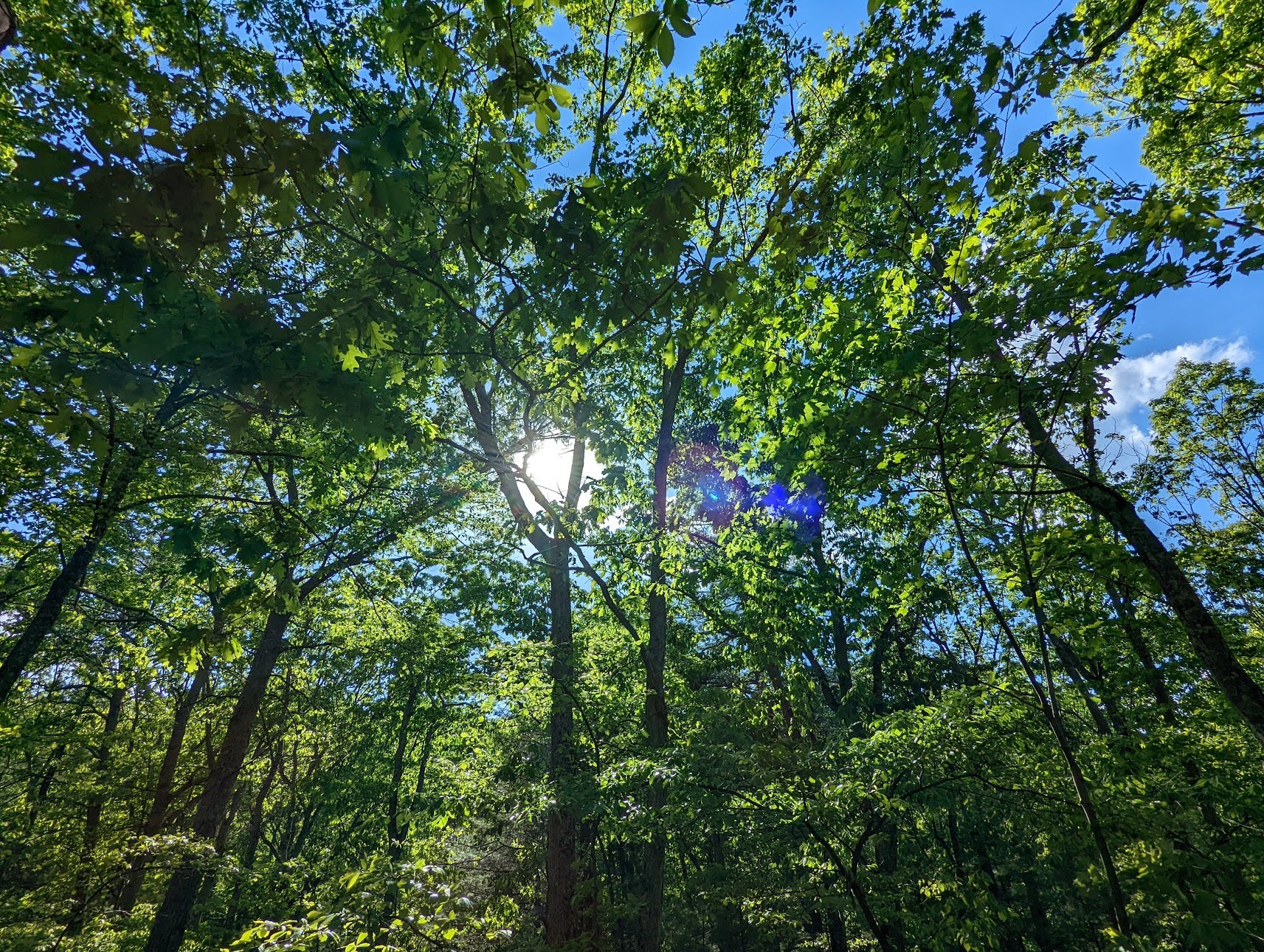
the fresh green growing under clear
blue skies, of arms-wide trees holding
stained glass leaves, ground-stomped
petals by the bus-stop wanderer listening
to the indistinguishable shrieks, what’s that?
Chirping renewal: kids playing, crying, laughing.
Thursday, May 12th, 2022
☁️
You can keep the relatively comfortable Spring temps, but Thursday will go ahead and process a return on the blue sky you’ve been soaring through all week. Instead giving partly to mostly cloudy skies (call it: “good photo lighting”) tinged with moisture in the air rising. I’m not worried for commutes, but overnight could see these forces collect and cascade into showers; compounding high tide coastal flooding.
📣 This Thursday: May 12th - Chesapeake Climate Action Network Capital Hill organizing call.
☀️ Next-next Thursday: May 26th - DC Solar Action Team meeting with the latest on expanding solar for all.
Friday, May 13th, 2022
🌧️⛈️☂️
Keep your raingear out for the next few days to prepare. Friday continues cooking with the low-pressure system on the coast, making moisture and cloudy skies into likely showers and possible isolated thunderstorms. Expect a similar dreary drama to persist through the weekend; compounding in already-moist soils with high tides causing flooding.
Both Saturday and Sunday likely scatter more rainfall and thunderstorms— with Sunday simmering hotter 80s°F highs. We know extreme rainfall in the Mid-Atlantic is both 1. more common, and 2. more intense in our fossil-fueled climate. So for all we share in common, thank you: for putting in-action your intense interconnected compassion, for climate justice.