

January Dawning DC Weather for Currently
January Dawning DC Weather for Currently
Climate & Weather Forecast Poetry for Washington, DC

Hello New Yearlings, I’m here still writing weather reports for Currently’s Washington, DC newsletter.
Currently is a weather service for the era of climate change
Currently is a free subscription weather service — delivering daily weather poetry to your inbox, and connecting you with interactive weather alerts and real-time climate context straight to your phone. We’re a community of people sharing resources and delivering justice, hope, safety, and resilience in a world in urgent need of systemic action.
January Dawning Across Washington, DC
Tuesday, January 4th, 2022
Hello 2022– Washingtonians, DMVers, transients, 7:26 am sunrises, activists, climate hawks, the casually concerned and caring, communities of cassandras, 4:59 pm sunsets, and those who just want your forecast already — welcome back!
Tuesday will be bright. And cold. So bundle-up. Temps chill between the 20s to mid-30s°F winds light and variable. Forget whatever balmy warmth started Winter, that’s now a fossil-fueled fever dream covered in snow. Instead, take your sled to the frost glossing this week, and let’s ride! As we slide, remember to stay hydrated, healthy, and heart-full. It’s a new year, let’s make it a new climate future.
Wednesday, January 5th, 2022
Wednesday drips like thinning layers of frost lace unspooling over twists of tree branches: cloudy, mostly 30s-40s°F, cold swaying in 10-15mph winds and against 25mph gusts. DC schools are still closed until Thursday as ice and snow melts (check this same link for MD and VA), but everyone should stay cautious about risks of remaining refrozen ice on bike paths, roadways, sidewalks, and steps. Especially so overnight, when a dry cold front passage moves the coldest air so far this season our way which we’ll feel more by end-of-week.
Thursday, January 6th, 2022
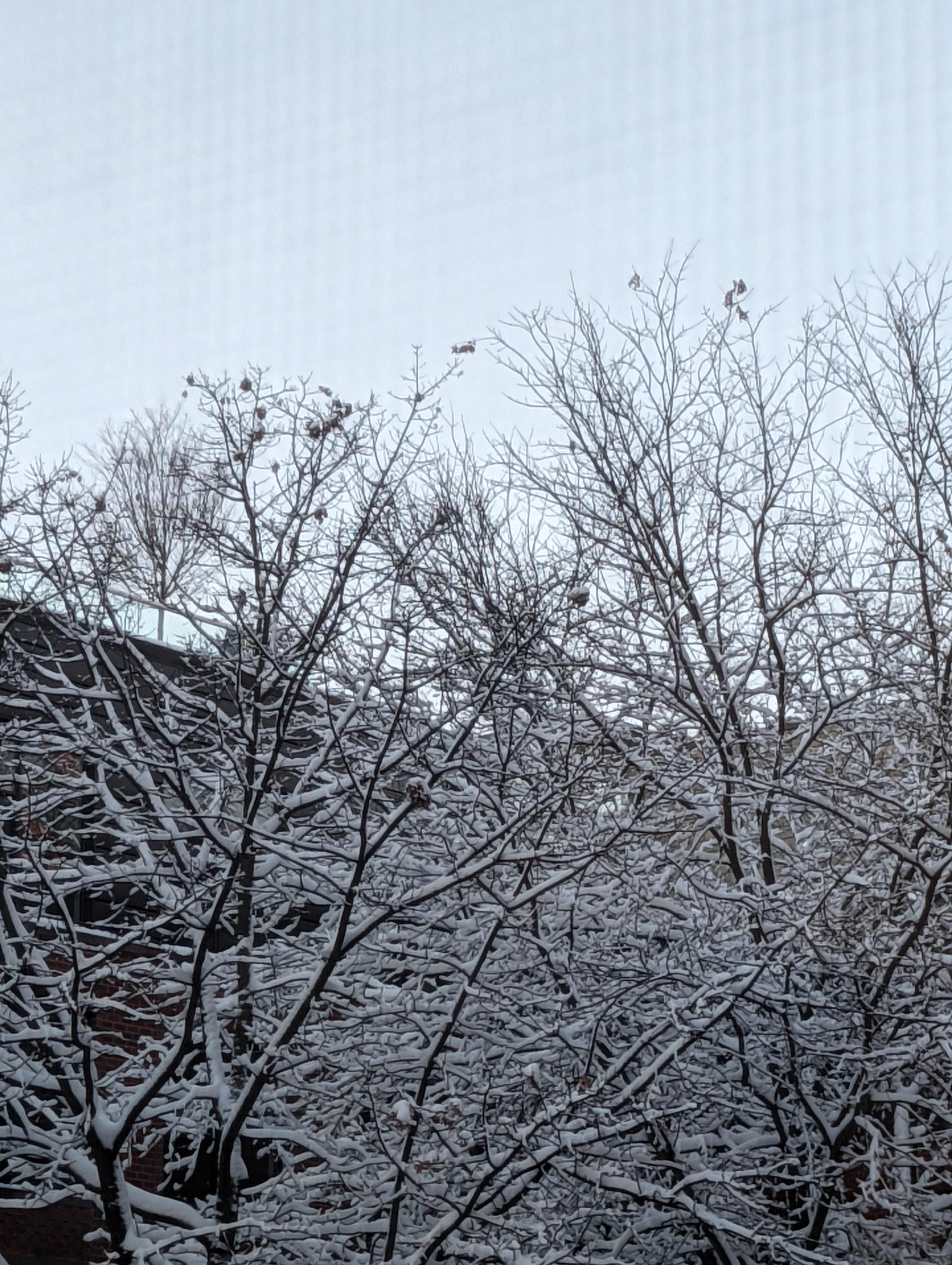
Thursday’s giving somber partly cloudy skies to late (10 pm) mixed rain/snowfall which could accumulate up to 1-3 inches. Wind should be calmer than Wednesday, northwest 5-10mph. All this is driven by a developing Nor’easter, interacting with the Gulf Stream to further lower temperatures across the coast. Even with some models easing on storm intensity, this could mean the potential for overnight accumulating snowfall into Friday morning. Keep cautious of refreezing conditions and stay ready.
Like Janus, eponym of January, two-headed Roman god, the Opener — reflect backward while looking forward and together we’ll go onward.
Friday, January 7th, 2022
Thursday night’s precipitation into Friday brings a wide swath of 2-6” snow along the I-95 corridor tucking the head of the weekend under a white blanket. Some heavier banding may increase snow accumulations, bunching flurries thicker over some areas than others. There’s another chance of falling sheets of rain/snow mix Sunday, so stay vigilant for further winter storm warnings. Conditions causing this are all the more reason to find warmth where you can. With temperatures Friday starting in the high-teens that stay below freezing and whip into a bitter bite in 10-30 mph winds. Bundle up and stay prepared.

Monday, January, 10th, 2022
ANOTHER BEAUTIFUL MONDAY TO ACT ON CLIMATE SONNET
Monday’s sunny gestures ontowards beauty
Duty calls on winds to zephyr from ten
Ten miles per hour, gusting up-to moody
Twenty, northwest-sourced livid expressions
Impressionist sidewalks vivid in cold
Not only the bluster but also the
Just cold temperatures taking ahold
Continuing into Tuesday slowly
Painting pathways in meltish snowpack
Grey-black in street corners, turquoise in salt
Multi-chromatic District-wide palette
Planet beset across a ribbed sky vault.
Monday’s cold gestures a sunny climb-up:
A beautiful day to act on climate.
Tuesday, January, 11th, 2022
Tuesday gives you one of the coldest days of DC’s Winter as one unwanted reward; and, in case you missed it, the second is that the past seven years have been the hottest on record. The Weather is driven by one of the coolest air masses seen to cover our area in a couple of years, with temperatures dragged down further by a low-pressure system. The Climate is of course driven by unabated greenhouse gas emissions. Once acknowledged: breathe. Then: consider what you can control. Here’s a link to DC’s public Hyperthermia Watch resources and a place to donate to DC’s homeless community. And, considering all the ways we can make a better climate future — let’s go!
Wednesday, January 12th, 2022
Whichever way you take (DC’s new bus priority plan is here for your review and feedback), Wednesday meets you there in a shake. Follow the sunny pathway protected ahead, relatively warmer than the route Tuesday led. Ride the 10-15 mph wind in your sails across lost winter cycling trails. Take in the calm balm while it lasts, with frigid feels returning late week to DC in a cold blast. When you go towards the near-past-noon-risen moon, you’ll see glinting gibbous waxing daytime poetic like a ruin. Translating “Hottest Years” as “Costliest” into tiers with only more feared superlatives promised. But what if our collective courage was the response?
Thursday, January 13th, 2022
Thursday’s high of 50°F and cloud-blanketed sky give DC a nice and cozy day for the season. While all’s calm, we’ve got eyes on a potentially major East Coast winter/snow storm for early next week. But back on Thursday, the great author Annie Dillard put it better than I could ever:
“Today is one of those excellent January partly cloudies in which light chooses an unexpected part of the landscape to trick out in gilt, and then the shadow sweeps it away. You know you’re alive. You take huge steps, trying to feel the planet’s roundness arc between your feet.” Annie Dillard, Pilgrim at Tinker Creek.
Friday, January 14th, 2022
Friday’s sun ends this short run of balmier afternoons with highs in the mid-40s before plunging the weekend into a cold and wintry mix. Before we’re tossed in the mix, Friday skies are clearing with shine riding North winds 10-20 mph, possibly gusting 30 mph. But heading into Friday night, temperatures drop into the frigid 20s through Saturday. Prime for the winter storm Sunday, expected as snow, then ice, then freezing rain. Be cautious of slick pathways and sidewalks. Precipitation continues with increasing temps into Monday morning. With our planet and democracy under attack, I hope your MLK Day is filled with action and solidarity fighting back.
Wednesday, January 19th, 2022
Expect Wednesday to be your mild spot for the week before another Arctic cold front refreezes DC with precipitation into Thursday. Skies begin Wednesday with the barest sliver of sun, quickly increasing in cloud cover brought on by South Southwest winds 6-11 mph, with possible wind gusts up to 22mph.
What’s your favorite way to say ‘Meeting’? ‘Nexus’? ‘Convergence’? ‘This should have been an email’? Where Wednesday joins Thursday overnight, near-freezing temperatures meet the Northern jet stream clipper system, which yes— should just be an email. Blasting a wintry mix meeting wet snow flurries and freezing rain into Thursday morning.
Thursday, January 20th, 2022
Expect Thursday morning snowfall on the ground to glisten
Around 7-10AM, anywhere from just a coating to 1-2 inches
In already icy corners creating difficult transit conditions.
One must have a heart of winter
To embrace a January with this much snow
Falling early Thursday on sidewalks and boughs.
From the maturing northern stream storm system bringing
A wide cold front across the eastern and southern US
Oak branches layer in light snow swinging.
But all calms by a mostly cloudy evening
A cold climate changing and teeming
Friday, January 21st, 2022
Friday re-emphasizes a point made earlier
Another cold front reinforces what’s been here
Giving partly cloudy cold, 27°F high and 19°F low
Frigid below-freezing hold, into the weekend chills go
With North 5-15 mph winds, Friday’s still lit in LED-radiance
But the heart glows brightest in the fight for systemic changes
For Friday’s for re-imagining a better world we’ll make freer
Friday re-emphasizes a point made earlier.

Monday, January 24th, 2022
Begin your week like Monday with some calm deep breaths drawing in the light; then, find and hold onto your sky’s center however many clouds come to enter. As Monday starts mostly sunny then follows a light 6 mph breeze becoming South. Mostly sunny staying mostly in the 30s. Until some clouds amble along into the afternoon, deepening into a mostly cloudy sky by evening.
While this week looks to keep DC cold, between 20s-40s °F, The Coldest Time of Year is Skewing Later in the East. All the more reason for #ClimateActionNow.
Tuesday, January 25th, 2022
Tuesday’s a mixed bag for DC— a bit warmer but a lot colder. Early, sun and clouds mix with calm 5-10 winds that could gust as high as 25mph. Winds clear the sky some by evening, winding North Westerly through the District. Setting the scene, there’s a decaying clipper system with another reinforcing shot of cold Arctic air that brings light wintry precipitation to the Northeast and Mid-Atlantic. But with just a fit of flurries, travel impacts are expected to be minimal.
REMINDER: Tuesday 12PM, the DC Council live streams an oversight hearing on progress towards implementing the Climate Commitment Act & the Clean Energy DC Building Code Amendment.
Wednesday, January 26th, 2022
Wednesday’s giving bitter windchill frenzy
(It’s going to be a sunny day early)
Freezing 5-15mph winds which could gust greater
(It’s going to be mostly clear later)
Over the mid-Atlantic there’s an arctic air mass settling down
(It’s going to be a day bright surrounds)
From thirties to teen temperatures freeze
(It’s going to be a great day by degrees)
Turn against, layer, bundle, and knit-together
(Wednesday’s a great day for climate action as ever)
Thursday, January 27th, 2022
Thursday starts sunny, cold, and calm. With a slightly higher high– in the high-30s and a high-30s low. Afternoon skies gain clouds through the afternoon until mostly clouds cover any overnight moonglow.
There’s increasing confidence in a major Nor’Easter winter storm developing Friday night into Saturday, with medium to high confidence of significant impacts along I-95 metro areas. For DC, shifting models put us on the edge of the heaviest action with the forecast still forming into focus. Still prepare for a weekend of frigid winds and possible snow; start considering bundling, salting, and shoveling in plans, and slick roads and pathways in travel. Reminder during winter extremes, DC provides Cold Alert and Hypothermia Emergency Centers for our homeless.
Friday, January 28th, 2022
Starting and staying cloudy, Friday forecasts a range of possibilities. The major Nor’Easter developing on the coast maps impacts to DC on the borderline, still giving some snow, but right now in ranging totals. From what we do know, we should prepare for light snow late Friday, with accumulation possible overnight. Travel delays for evening commutes are possible, increasing with intensity and twenties temps freezing paths and roadways.
The best thing you can do is to make a plan for you and your crew to stay both winter weather and pandemic safe as you can, prepping for hazardous travel if required, checking in with neighbors, and making sure our disabled, elderly, and undeserved are protected.
DC’s Hypothermia hotline to help the homeless community find warming centers is (202) 399-7093 or dial 311.
Monday, January 31, 2022
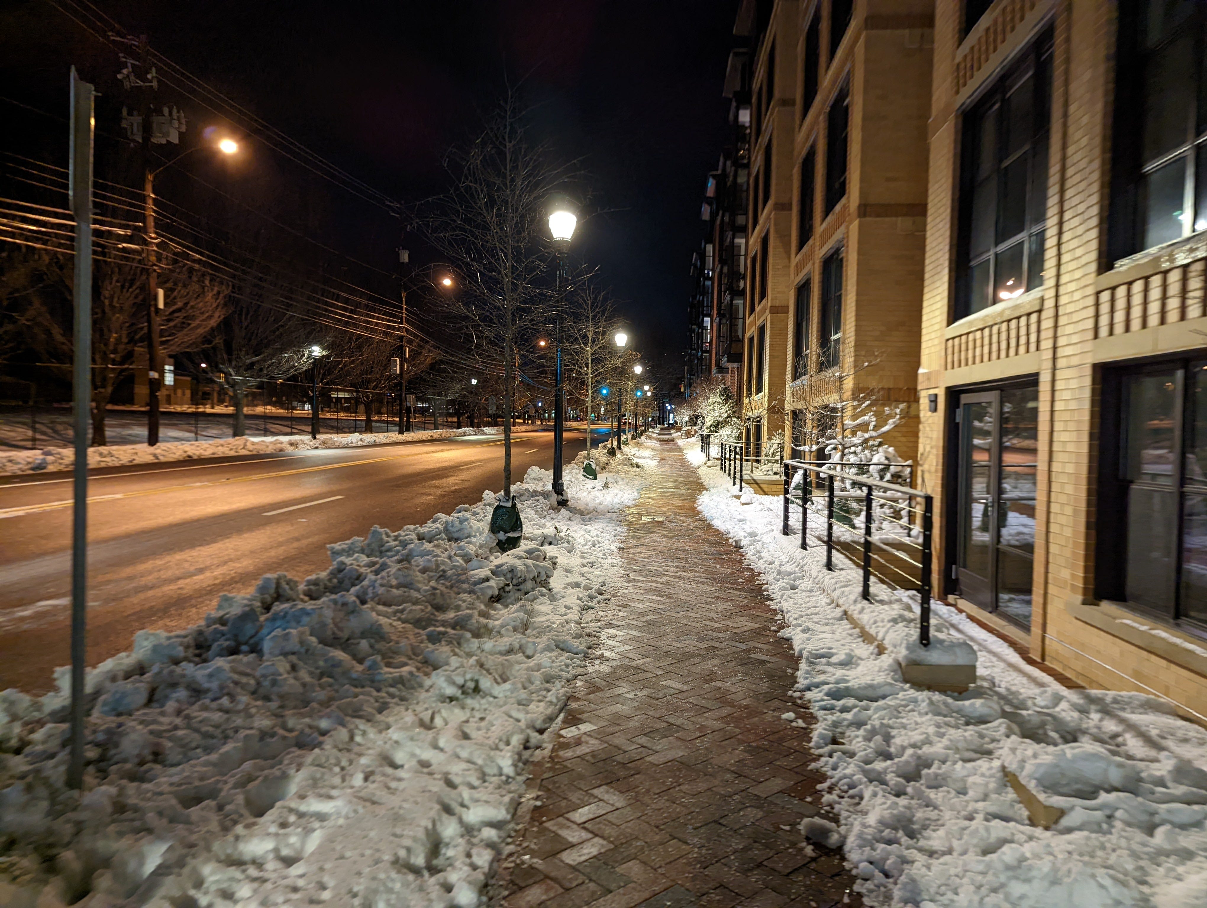
Monday’s digging out of the weekend above-freezing by noon. With highs that could hit the upper 30s to low-40s and bursts of clouds fringing skies with partial sun. That should aid the partial patchwork of icy pavement and asphalt-pack stacking extra cause for caution onto commutes. On transit, Metrobus announced an upcoming return to weekday bus service on Feb. 7th with still no 7000 series metro update.
This week is foreground in icy-cerulean hues dripping into a slight warmth expected across DC. High pressure continues calm into Tuesday but come Wednesday, heavy rainfall tones could develop from a mid-week central-US-sited system sketched in the background.
